Belfountain History

Belfountain’s history is closely tied to the landscape around the Credit River and the Niagara Escarpment. Over time, the area has been shaped by Indigenous stewardship, settlement and agriculture, mills and industry, quarrying and railways, recreation and tourism, and, more recently, its role as a rural community within commuting distance of the Greater Toronto Area.
Pre-Colonial
Long before the village of Belfountain was established, the Credit River valley was part of a much larger Indigenous landscape.
The ancestors of the Mississaugas of the Credit First Nation have lived throughout southern Ontario for centuries. The Credit River, known to the Mississaugas as Missinnihe, or “trusting creek,” was an important waterway and part of a landscape used for travel, fishing, hunting, gathering and trade. The river and surrounding lands supported seasonal patterns of movement and resource use long before European settlement.
The arrival of European settlers brought profound changes to this landscape. Through a series of treaties and increasing settlement pressure, Indigenous lands were progressively transferred to the Crown. The Mississaugas established the Credit Mission settlement downstream in 1826, but increasing encroachment and difficulties securing title to their lands ultimately led them to leave the Credit River in 1847 and establish what became the New Credit community.
Initial Colonial Settlement — Early 1800s
European settlement in the Belfountain area began in the early nineteenth century, following the surveying and opening of land for settlement.
A township survey was undertaken in 1819. Among the early settlers were Scottish immigrants Peter and Nancy McArthur and William and Mary Frank. The McArthurs received land in the area in the early 1820s, while the Franks established themselves nearby on Lot 10, Concession 6. The two families eventually exchanged land, giving the Franks access to the Credit River and the McArthurs more agricultural land.
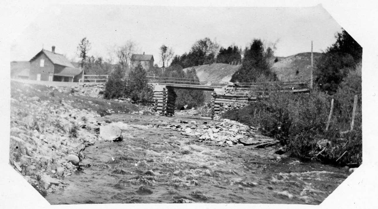
Water power was central to the development of the settlement. In 1825, William Frank built a grist mill on the Credit River. A dam and sawmill followed, creating the beginnings of a small industrial settlement. Mary Frank later married Jonathan McCurdy, who became an important figure in the community's early development.
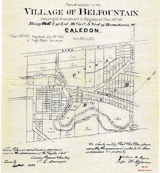
The settlement grew around the mills and gradually developed into a village. By the middle of the nineteenth century, Belfountain had a general store, tavern and blacksmith shop in addition to its mills. For a time, the settlement was known as “Tubtown,” a nickname associated with the local blacksmith and the large tubs used in his work. A post office was established in the 1850s, and the name Belfountain came into use.
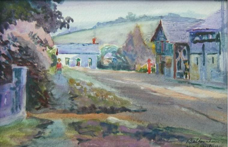
The village’s location and character were strongly influenced by the rugged terrain of the Credit River valley. Unlike communities laid out on a simple grid, Belfountain’s roads followed the contours of the land and river, creating the winding streets and distinctive village landscape that remain today.

Industrialization — Railway and Quarries, 1870s–Early 1900s
By the late nineteenth century, Belfountain and the surrounding Forks of the Credit became part of a much larger industrial landscape.
The Niagara Escarpment contained valuable deposits of sandstone and other stone, and large-scale quarrying expanded in the area during the late 1800s. Belfountain became home to skilled stonecutters, quarry managers and their families, while nearby communities such as the Forks of the Credit and Brimstone developed more directly around the quarry industry.
The arrival of the Credit Valley Railway transformed the relationship between these rural communities and the outside world. The railway provided a means of transporting quarried stone and other goods to larger markets, while also bringing visitors into the Credit River valley. The dramatic railway route through the Escarpment included the famous Forks of the Credit trestle and connected the area with communities to the north and south.
For several decades, quarrying was a major economic force. Some of the finest building stone used in Ontario came from the area. By around 1900, however, many of the accessible and economically viable deposits had been worked out, and large-scale quarrying began to decline. The industrial communities around the Forks gradually diminished, while Belfountain itself returned toward its earlier scale.
The railway and quarry era left an enduring mark on the landscape. Today, traces of quarries, railway infrastructure, roads and industrial sites can still be found throughout the Credit River valley.
Cottage Country — Recreation, Fishing and Skiing
As the quarrying industry declined, Belfountain’s natural beauty became increasingly important to its identity.
The Credit River, wooded hills, Escarpment landscapes and scenic roads attracted visitors for recreation and day trips. Fishing, hiking, picnicking and enjoying the river became an important part of the area’s appeal. The Devil’s Pulpit, for example, was already being described as a popular picnic destination in the nineteenth century.
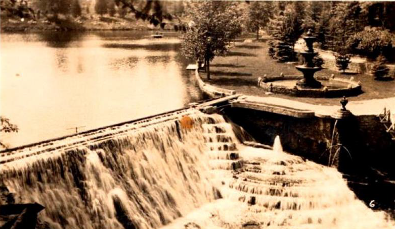
A major chapter in this transformation began in 1908, when Toronto businessman and inventor Charles W. Mack purchased property along the Credit River. Mack developed the property as a summer retreat, creating a highly landscaped private estate featuring gardens, stonework, a grotto, a miniature waterfall and a suspension bridge. In 1915, the property opened to the public as Mack Park.
Mack Park became an important recreational attraction and helped establish Belfountain as a destination rather than simply a mill and quarry village. In 1959, the property was purchased by Credit Valley Conservation and became the Belfountain Conservation Area. Many of the landscape features associated with Mack Park remain part of the park today.
Winter recreation became another defining part of the area’s identity. The Caledon Ski Club began operating in 1950 and was among the earliest ski hills in Ontario. Together with fishing, hiking, cycling, summer cottages and other outdoor activities, skiing helped establish the broader Belfountain area as a year-round recreational community.
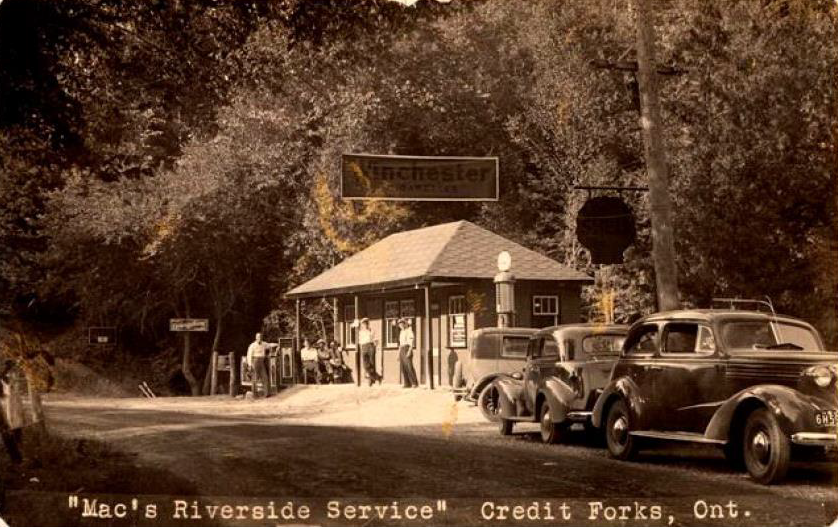
During the twentieth century, cottages and country retreats became increasingly common throughout the surrounding hills and river valleys. Belfountain developed a reputation as a place where people could escape the city while remaining relatively close to Toronto and other urban centres.
Current — A Rural Exurban Community
Today, Belfountain retains the physical character of a small rural village while being closely connected to the larger urban region surrounding it.
The industries that once defined the community — mills, quarrying and railway transportation — have largely disappeared, but their traces remain visible in the landscape and built heritage. The Credit River, historic roads, former industrial sites, stonework and older homes continue to tell the story of earlier generations.
Recreation remains an important part of Belfountain’s identity. The Belfountain Conservation Area, Bruce Trail and surrounding Escarpment landscape draw visitors for hiking, nature, cycling and other outdoor activities. The village and surrounding countryside also continue to attract people looking for a connection to rural life and the natural landscape.
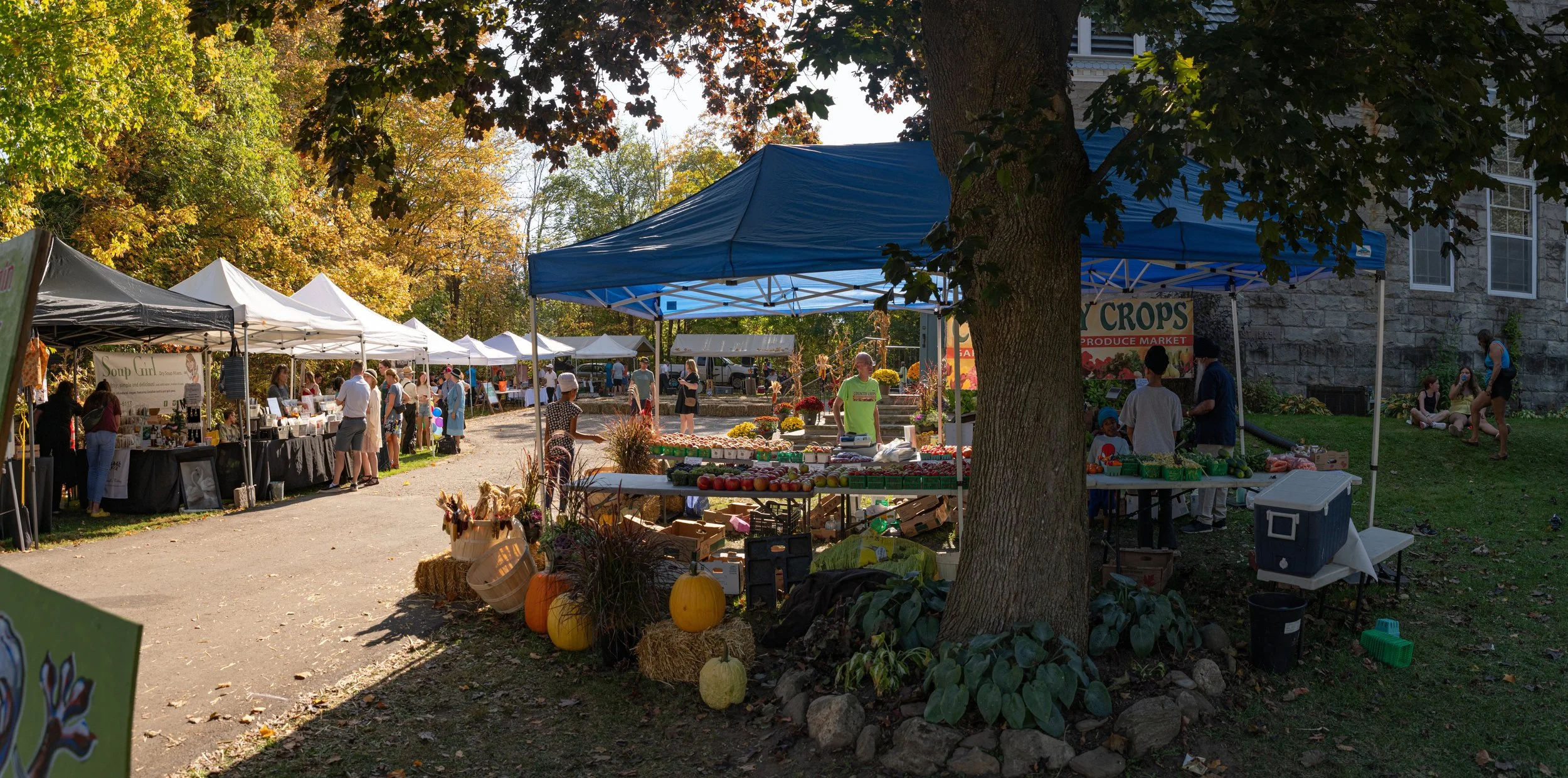
At the same time, Belfountain has become an exurban community — a rural place within commuting distance of the Greater Toronto Area. Long-time residents, newer families, weekend and recreational visitors, and people who have chosen to make the countryside their permanent home all contribute to the community today.
Belfountain’s character is therefore the result of many layers of history: an Indigenous landscape shaped by the Credit River; a nineteenth-century settlement built around mills and farming; an industrial community transformed by quarrying and the railway; a recreational destination shaped by Mack Park, cottages, fishing and skiing; and a rural community adapting to its place in the modern Greater Toronto region.